En:Surtsey

Surtsey has been on the World Heritage List since 7th of July 2008. [1]
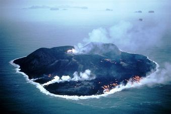
Surtsey, a volcanic island approximately 32 km from the south coast of Iceland, is a new island formed by volcanic eruptions that took place from 1963 to 1967. It is all the more outstanding for having been protected since its birth, providing the world with a pristine natural laboratory. Free from human interference, Surtsey has been producing unique long-term information on the colonisation process of new land by plant and animal life. Since they began studying the island in 1964, scientists have observed the arrival of seeds carried by ocean currents, the appearance of moulds, bacteria and fungi, followed in 1965 by the first vascular plant, of which there were 10 species by the end of the first decade. By 2004, they numbered 60 together with 75 bryophytes, 71 lichens and 24 fungi. Eighty-nine species of birds have been recorded on Surtsey, 57 of which breed elsewhere in Iceland. The 141 ha island is also home to 335 species of invertebrates.[2]
Further information in the Surtsey nomination report. 10,5 Mb
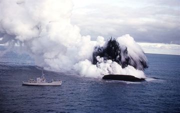
The crew of the fishing boat Ísleifur II first reported undersea volcanic activity on the morning of November 14th 1963. Half a mile away (about 900 meters) from the crater they measured the sea temperature at 10°C.
The eruption escalated quickly and four hours after it was originally reported the volcanic column had reached about 9.000 meters in height and the ash from the crater had created an island 10 meters above sea level in height where there used to be a 130 meters to the ocean floor so it is likely the eruption started a few days before it was originally discovered. When the wind blew from the southwest on the 12th of November they smelled sulfur at Vík í Mýrdal but no seismic activity had been reported in the days before the eruption. The eruption lasted with some stops until June 5th 1967 or for about three and a half years. The island is about 20 km southwest of Heimaey or about 30 km southwest of Landeyjarsandur on continental Iceland.

The eruption created the southernmost island in the Vestmannaeyjar island cluster and all Iceland, her central point is 61°18’N, 20°36’w. It is also the only island that has formed in recorded history around Iceland and it was formed in the greatest underwater eruption ever recorded.
The island was named Surtsey and the name is derived from norse mythology: Surtur the black is mentioned in Völuspá:
- “Surt fares from the south
- with the scourge of branches,
- The sun of the battle-gods
- shone from his sword”.
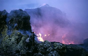
As soon as the island formed scientists realised what a great chance they had at studying a newly formed island and the colonization of life and its development on a new place. People are not allowed on the island unless it is for scientific purposes and permission from Surtseyjarfélagið is required to visit the island.
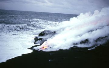
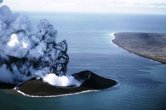
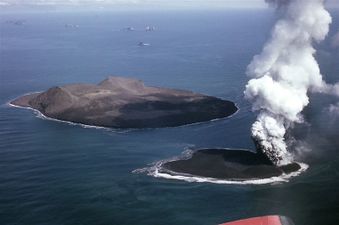
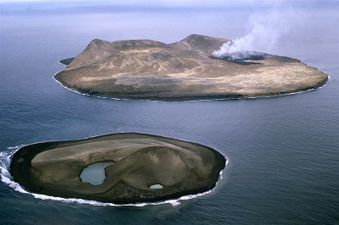
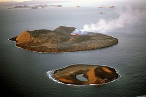
A number of fissures opened at Surtsey during the eruption. A month after the beginning of the eruption a fissure opened northeast of Surtsey that was named Surtla but no island formed. In the year 1965 two islands were formed, Syrtlingur east-northeast of Surtsey and Jólnir southwest of Surtsey. Both of the islands came to the onslaught of the North-Atlantic and disappeared beneath the waves.
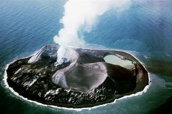
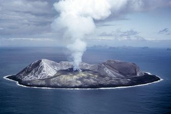
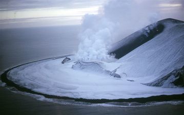
Surtsey has not been untouched by the relentless ocean and it shows in the reduction in size over the years. When the eruption ended Surtsey was 2,7 km2. 40 years later the island has shrunk more than 50%. Surtsey was measured 1,5 km2 in 2002. It is likely that this continues until only the Tuff (Hyaloclastite) core remains then the island will perhaps be similar to Bjarnarey.
The underwater ecosystem is teaming with life and has a large variety of flora. Plankton, barnacles and starfish along with the most common aquatic organisms have been found around Surtsey and seals use the island for a resting place and breeding ground. Various kinds of moss, lichens and grasses are found on Surtsey and at least eight kind of birds make there homes on the island. The first bird to colonize was the Northern Fulmar in 1970. Various bugs have also been found on the island inc. Spiders, beetles and butterflies. In reacent years there have been questions concerning the future of Surtsey. Some want to open it for tourists and allow unlimited access to the island. Officials and the Surtseyjarfélag don’t agree and say that for an undetermined time the island will be used for research and therefore access will be restricted. Only time will tell what part Surtsey will play in the times to come.

Surtseyjarfélagið
When Surtsey appeared and obvious it was here to stay an organization was formed made up of people interested in the organization of research of the island. The purpose of the Surtseyjarfélag is from its charter “To help research in geology and biology in association to Surtsey and Iceland in general”. Despite doing no research the club has published many papers with test results. The club has built two cabins on the island where scientists can stay during there research. The president of the club is Steingrímur Hermannsson former prime minister. The club is housed at Náttúrufræðistofnun Íslands. The club has done a great job of protecting the island form man and has seen to it that life gets to develop without human interference.
The Surtsey eruption
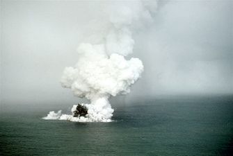
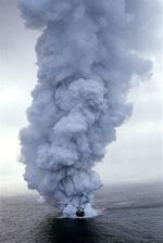
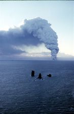
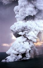
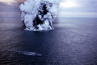
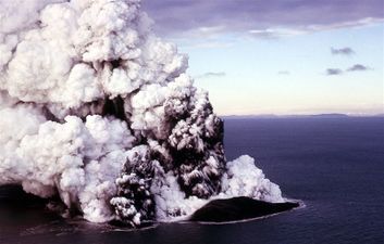
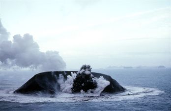
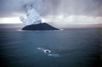
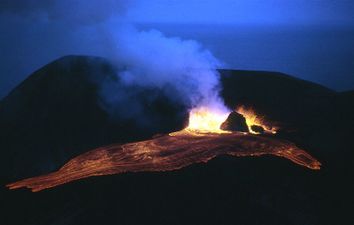
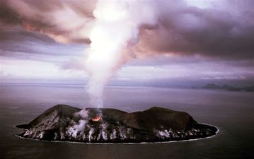
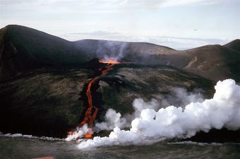
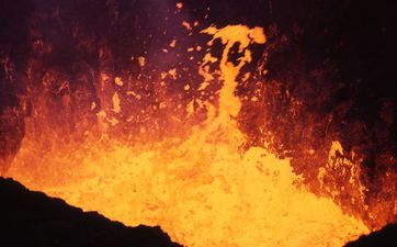
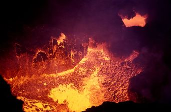
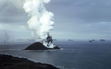
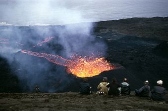
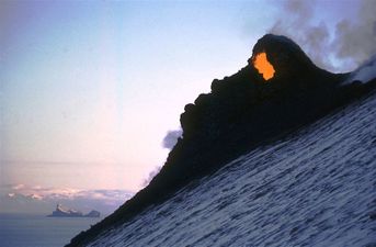
The eruption started with tremendous power. On the first day the 14th of November 1963 the volcanic column already reached 6 km in the air. This is the first underwater volcanic eruption in recorded history around Iceland. It started at 65 fathoms 3 nautical miles west of Geirfuglasker. Right at the start of the eruption scientists got excited and the first day of the eruption planes and boats circled the area both commercial, army and research planes. Two days before visible signs of the eruption sulfuric smell was reported in Vík í Mýrdal. That smell was more linked to glacial eruptions than undersea eruptions. A few small tremors had been picked up near the soon to be volcano but in Iceland seismic activity is common and researchers saw no problem with the activity south of Heimaey. Nothing was different from ant other winters day, fishing boats sailed around and birds dove into the sea and the weather was cold but mild. Scientists were afraid that an explosion might occur in the eruption if a new crack opened and sea would pour in and a massive explosion would follow. Boats were warned to stay at a safe distance for that reason.
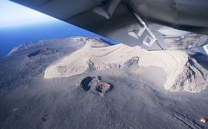
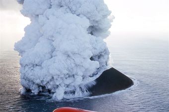
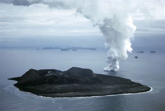
On the second day of the eruption the island was formed. This island was then just a pile of ashes. The island grew steadily throughout the eruption but constantly had to struggle for it’s existence against the weather and the Atlantic.
The first Icelanders on Surtsey were Kristján Guðmundsson, fisherman and with him the brothers Kristján Egilsson current curator of Náttúrugripasafn Vestmannaeyja and Egill Egilsson, carpenter.
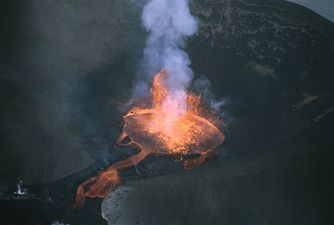
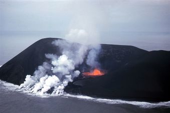
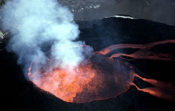
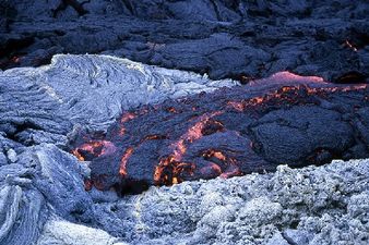
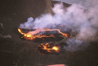
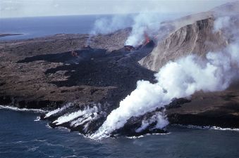
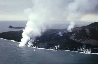
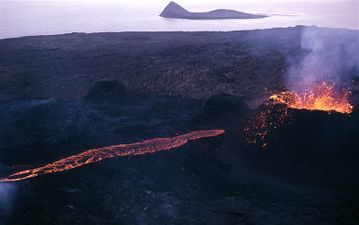
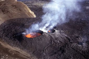
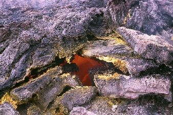
The main crater in Surtsey is called Surtur. The flow of lava on the island was weary stable. Weary few pauses were in the flow and on those breaks the ocean created the cliffs of Surtsey. A few cracks opened in the island over the next few years. The last crack of the eruption opened on August 19th 1966 it was over 200m long. The last reported lava flow of the eruption was on June 5th 1967.
The French arrive
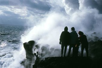
Shortly after the birth of the island French reporters came to visit it. It was the 6th of December 1963. After only 15 minutes on the island they ran off the island due to lava flow and explosions. They wrote about their trip to the island in their paper the Parish Match and in doing so made their trip universally known.
Geology
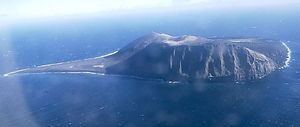
Lots of geological studies have been made on Surtsey both during and no less after it ended. Including studies into the flow of tephra and lava, mineralogy the chemical composition of gasses from the magma and sea and wind effects on the island. Of geophysical studies that have been made include weight measurements, seismic studies, magnetic and GPS-measuring.
The tephra and lava in Surtsey is Alkalivinbasalt, this kind of basalt is found around Vestmannaeyjar and in Snæfellsnes. The tephra is mostly brown basalt glass which is formed when it was instantly cooled by the sea, but the majority of the rock there has a lot of crystals in it due to a lot slower cooling process. In the rock there are quite big olivin and plagioclase crystals.
The future of the island
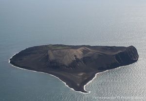
In recent years there have been questions into what the future may hold for Surtsey. Some want it open for tourism and allow everyone unlimited access. Officials and the Surtseyjarfélag don’t agree and say that for an undetermined time the island will be used for research and therefore will be restricted. Only time will tell what part Surtsey will play in the times to come. To this day new plants are being found on the island and animal life is flourishing. It is safe to say that life on Surtsey is beginning to look like life on any other of the islands. Puffins were first seen bringing fish to their young on the island in 2004 and that was the first time puffins were seen there. Surtsey has been invaluable specifically in concern to researches into how life in land spreads and starts on a new landmass.
Picture gallery
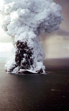
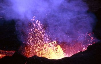
Here you can see a gallery of pictures that Sigurjón Einarsson, pilot, took. Click the pictures to see a bigger picture.
